
According to Butte County Supervisor Debra Lucero, the board majority’s final decision on a new district map was both predictable and illegal.
“What this board has done is draw lines according to political purposes,” Lucero told attendees at the panel’s Tuesday (Dec. 14) meeting.
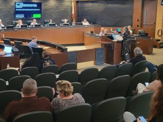
It’s been a long, contentious road to adopting a new map of supervisorial districts, which will determine how county citizens are represented for the next 10 years. The redistricting process has included threats of potential lawsuits against the county due to purported gerrymandering—detractors say that the final map mirrors a GOP political operative’s partisan map—as well as an allegation of political intimidation against a supervisor in the liberal minority.
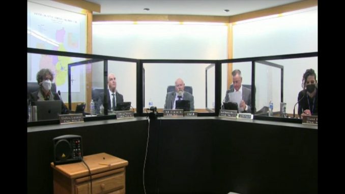
On Tuesday, the supervisors voted 3-2 along party lines to approve map A5-C, which has two western agriculture/valley districts. The map is Supervisor Tod Kimmelshue’s revision of one originally drawn by Redistricting Partners, a consultant the county hired for $80,000.
The three draft maps before the board (A5-C, A7 and A10) all had some key similarities, such as including Cohasset in a foothills district, keeping Berry Creek with the city of Oroville, keeping the Avenues and Barber neighborhoods whole and within Chico districts, uniting the ancestral lands of the Mechoopda Indian Tribe of Chico Rancheria, and including a portion of Chico in a district with Paradise due to its population loss following the Camp Fire. Key differences included whether the proposed maps comprised one or two agricultural/valley districts and how many times they split Chico.
While Chris Chaffee, chief operating officer of Redistricting Partners, maintained that all of the maps are legal and follow California’s Fair And Inclusive Redistricting for Municipalities And Political Subdivisions (or Fair Maps) Act, Lucero and Supervisor Tami Ritter disagreed. (Chaffee added a caveat that he is not an attorney and that his firm does not have an attorney that vets the maps.)
Lucero, who enlisted the help of Minnesota-based data analyst Todd Stump, said on Tuesday that he concluded A5-C was designed to pack the Democrats into one district and ensure more Republicans are elected.
That’s when Connelly, who appeared exasperated and could be seen shaking his head during the proceedings, asked her, “Do you have to do this?” Lucero, who had been speaking for a while, replied that she needed to read her comments into the record.
“I’ve listened to you bag on me this whole time,” he continued. “I have been here 17 years. I have never seen anything like this.”
Lucero went on to say that A5-C would dilute the voices of low-income, student and Latino voters residing in Chico by splitting them between four districts.
“Politics has crept heavily into this process,” she said, and maps A5-C and A10 are “an affront to democracy.”
Of the three proposed maps, Lucero and Ritter favored A7, which would have divvied Chico into three districts and established just one agricultural district on the west side of the county. It had been the top choice for citizens as well, based on public comment—county staff reported on Tuesday that, since the board’s Nov. 22 redistricting meeting, approximately 900 comments from the public had been received in support of map A7, versus 73 for A5-C and A10.
Ritter argued that having two agricultural districts doesn’t comply with the Fair Maps Act. The law includes criteria that government agencies must adhere to “as much as practical,” including creating intact communities of interest.
Ritter read the definition of a community of interest aloud with the following emphasis: “a population that shares common social or economic interests that should be included within a single supervisorial district for purposes of its effective and fair representation.”
She also pointed to a previous map that was considered, 69836—drawn by Josh Cook, Republican state Sen. Brian Dahle’s chief of staff, and introduced by Supervisor Doug Teeter—that prioritized two agricultural/valley districts. When it was examined at the board’s Nov. 22 meeting, Chaffee called it a “partisan gerrymander.”
At the time, Kimmelshue proposed modifications to the map, to which Chaffee opined: “If it’s fruit from a poisonous tree, then it’s illegal.”
In response, Teeter said that the map he will support will look like map 69836. “I get the poisoned fruit thing,” he said at the Nov. 22 meeting. “But we let the consultant’s pen go across it and then people can’t say this was part of [Cook’s map or the map edited by Kimmelshue].”
It was along those lines that Ritter and Lucero objected to the adoption of A5-C, a map that they argue is tainted due to its similarity to 69836.
“This is an issue that is not going to go away and could be extremely costly for the county,” Ritter said.
Ritter also revealed during the meeting that Cook, a former friend, had shared a proposed map with her, she said, drawn to factor in political party information (which is against the Fair Maps Act), and then right after that, another map he created was introduced by Teeter and supported by the conservative majority.
In response, Ritter and Lucero held a press conference on Nov. 17. They accused their colleagues of gerrymandering by supporting the review of map 69836. That same day, Ritter received a text message from Cook with one word: “Resign.” (The CN&R has reviewed a copy of the text message.) She added that it sounded “a lot like a veiled threat,” and that she was concerned enough to share it with county staff.
In defense of his map, A5-C, Kimmelshue—who said he drew with the help of his family—said he believes it best responds to all community feedback and is the only map that minimally splits Oroville (into just two districts), includes fire-prone areas such as Cherokee and parts of Oroville and Chico in a district with Paradise, and creates two agricultural districts that have distinct water needs and flooding issues. He added that communities of interest should be of greater priority than minimizing the division of cities, per the Fair Maps Act.
Supervisor Teeter, whose district encompasses Paradise, agreed with Kimmelshue that A5-C does the best job of keeping fire-prone communities of interest together. He added that “though it might be minor,” he supports the testimony from those who are in agricultural/valley areas, and that if a map like A7 passed, people in north Chico would be grouped with those in Gridley, which wouldn’t make sense based upon their community needs.
Addressing Ritter’s comments, Teeter said that he never received any political party map information from Cook, and that he expected that the redistricting process would be contentious.
“There’s been a parade of political party people from each side,” he said. “I know you won’t believe me, but I haven’t talked to Supervisor Kimmelshue one iota about this.”
Just before the meeting’s end, Connelly said he had never spoken to Cook and that “rural people need a voice” just as much as those in the city of Chico. He then went on to chide Lucero for making allegations that he had been involved in gerrymandering “without concrete evidence,” and told her that he wouldn’t soon forget her comments.
“I don’t believe your conduct toward me was proper,” he said. “This was uncalled for.”
Lucero made two separate motions, the first attempting to approve map A7. When that failed along party lines, she called for the approval of A10, which resulted in the same nay votes. Ultimately, A5-C was approved.
Lucero alluded to a potential referendum effort during the meeting.
“This isn’t over,” she wrote later on her Facebook page. “We’ll still need your support. Stay tuned.”


https://www.sos.ca.gov/elections/helpful-resources/redistricting
https://lwvc.org/news/breaking-gov-newsom-signs-fair-maps-act-ab-849
https://my.lwv.org/sites/default/files/leagues/wysiwyg/%5Bcurrent-user%3Aog-user-node%3A1%3Atitle%5D/lwvcef_fair_maps_california_local_redistricting_toolkit.pdf
Some useful Resources…The referendum process was started today. Take the time to review the Law.