
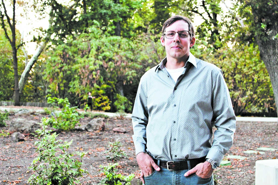
Photo by Meredith J. Cooper
As a pyrogeographer, Zeke Lunder is an expert at mapping fires.
Forest management has made a lot of headlines of late, what with wildfires growing in intensity and frequency, particularly in California. For pyrogeographer Zeke Lunder and many others, a key component to keeping fire from overtaking the urban landscape is actually to invite it into the wildland—or at least let it burn. What that accomplishes, he told a room full of students and community members during a seminar Monday (Oct. 21) on the Chico State campus, is reducing fuels that intensify wildfires.
Lunder, founder of Chico-based wildfire consulting firm Deer Creek Resources, had been invited to speak by Russell Shapiro, a professor in the Geological and Environmental Sciences Department. The goal of its regular seminars is introducing students to people working in related fields, plus revealing the newest science available. In a few weeks, Shapiro said, he’s looking forward to hearing from a UC Davis expert talk on the relationship between groundwater and agriculture.
“If you do anything having to do with the science of fires and mapping, Zeke is the resource most of us turn to,” Shapiro told the CN&R after the talk. “The reason you invite Zeke is he puts the science behind it; his [conclusions] aren’t based on a gut feeling. He presents a very nuanced, carefully studied way to solve the problem.”
Lunder works as a fire mapper. His firm is often called upon to provide maps for firefighters based on knowledge of the terrain, weather patterns and history of the land. That includes the location and types of trees and brush that cover the region. Showing a “landscape-scale” map of Concow as an example, Lunder explained that weather patterns are fairly predictable in the area due to the location of the Feather River and Lake Concow, as well as the topography. It’s pretty common, he said, for winds of 10-15 mph to whip through the canyon at night.
“We know this about this area,” he said. What that demonstrates is that we should have been better prepared both for the 2008 fire that ravaged the mountain community and the Camp Fire, which predictably burned straight through the canyon. But while the experts know the dangers that exist, without proper preparation, it’s difficult to stop a fire from doing exactly what it wants to do—burn.
“We’ve got two ways that fires get started—they’re started by humans and they’re started by God,” Lunder said. Human-caused fires tend to concentrate around urban areas, he explained while showing a gridded map of Plumas County with human ignitions over the past 30 years highlighted. They followed highway lines and clustered around towns.
When he flipped the slide to the same map, but with God-caused ignition points (most commonly lightning strikes) highlighted, the whole map appeared to be on fire. “We can prevent human ignitions, but Smokey the Bear can’t really do anything about lightning.”
By looking at historical data on what’s been done to the landscape—and mapping it—over time, it’s easier to see how to best manage the fuels that are now there, Lunder said. For instance, “Logging has been a big part of Butte County’s history since the Gold Rush.” Sierra Pacific Industries (SPI) is currently a huge landowner in the North State, with over 2 million acres in California and Washington, per the SPI website. And its goal is to maximize profit off of the timber. Another major landowner in the region is the federal government (33 million acres in California are part of the National Forest Service). Its forest management focuses more on fisheries, the ecosystem, etc.
“I worked on some fires last summer in Shasta County and they really hammered home some big-picture problems we have with land ownership patterns,” Lunder said. “When a fire gets large, like the Camp Fire or the Carr Fire … as firefighters we have to back off and look at strategies as far as the ridge tops and the rivers and the roads. We’ve got these sort of imaginary lines, these land-ownership lines, and this is called a checkerboard. … It’s pretty much a nightmare to manage.”
The Ridge—and most of California, really, Lunder said—is much the same story, with various private and public entities owning parcels in a checkerboard fashion, with no single vision when it comes to land management.
“Paradise, you couldn’t build a better system—you couldn’t design this better if you were trying to design a place that’s going to kill people during a wildfire event,” Lunder said. “Right now we have an opportunity to really try a new approach in Paradise.”
That, however, might almost take an act of God—one that allows all the land to be owned by a single entity, and a unified plan put in place. Until then, Lunder said, learning from our past mistakes and being willing to take different approaches—like prescribed burns—to managing the land, is the best we can do.